Functions |
| int | grn_geo_table_sort (grn_ctx *ctx, grn_obj *table, int offset, int limit, grn_obj *result, grn_table_sort_key *keys, int n_keys) |
| grn_rc | grn_geo_resolve_approximate_type (grn_ctx *ctx, grn_obj *type_name, grn_geo_approximate_type *type) |
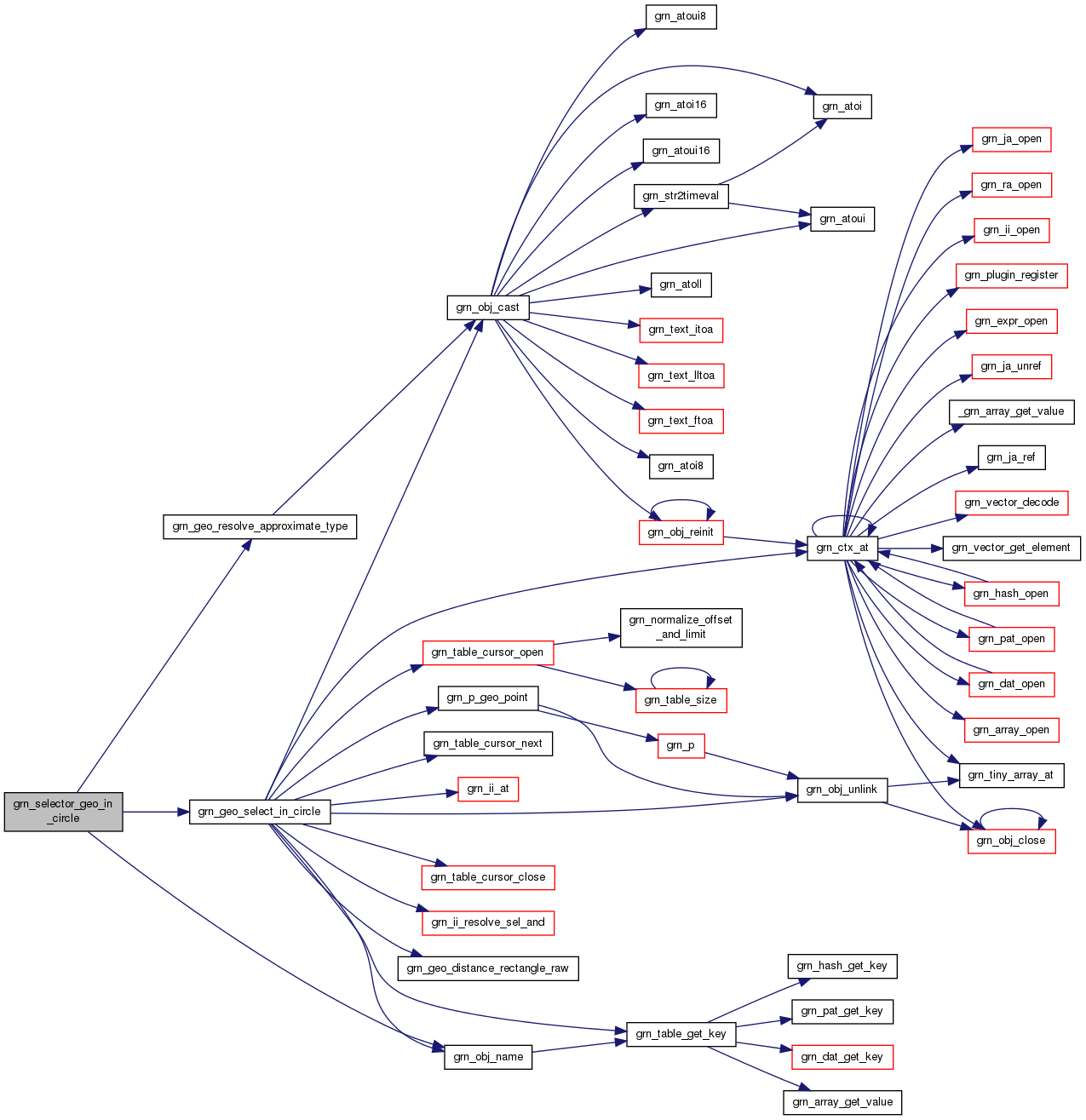
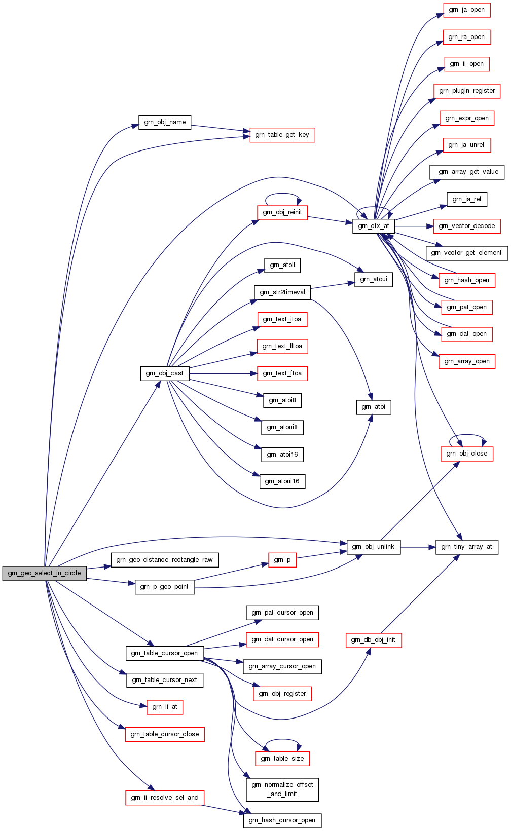
| grn_rc | grn_selector_geo_in_circle (grn_ctx *ctx, grn_obj *table, grn_obj *index, int nargs, grn_obj **args, grn_obj *res, grn_operator op) |
| grn_rc | grn_geo_select_in_circle (grn_ctx *ctx, grn_obj *index, grn_obj *center_point, grn_obj *distance, grn_geo_approximate_type approximate_type, grn_obj *res, grn_operator op) |
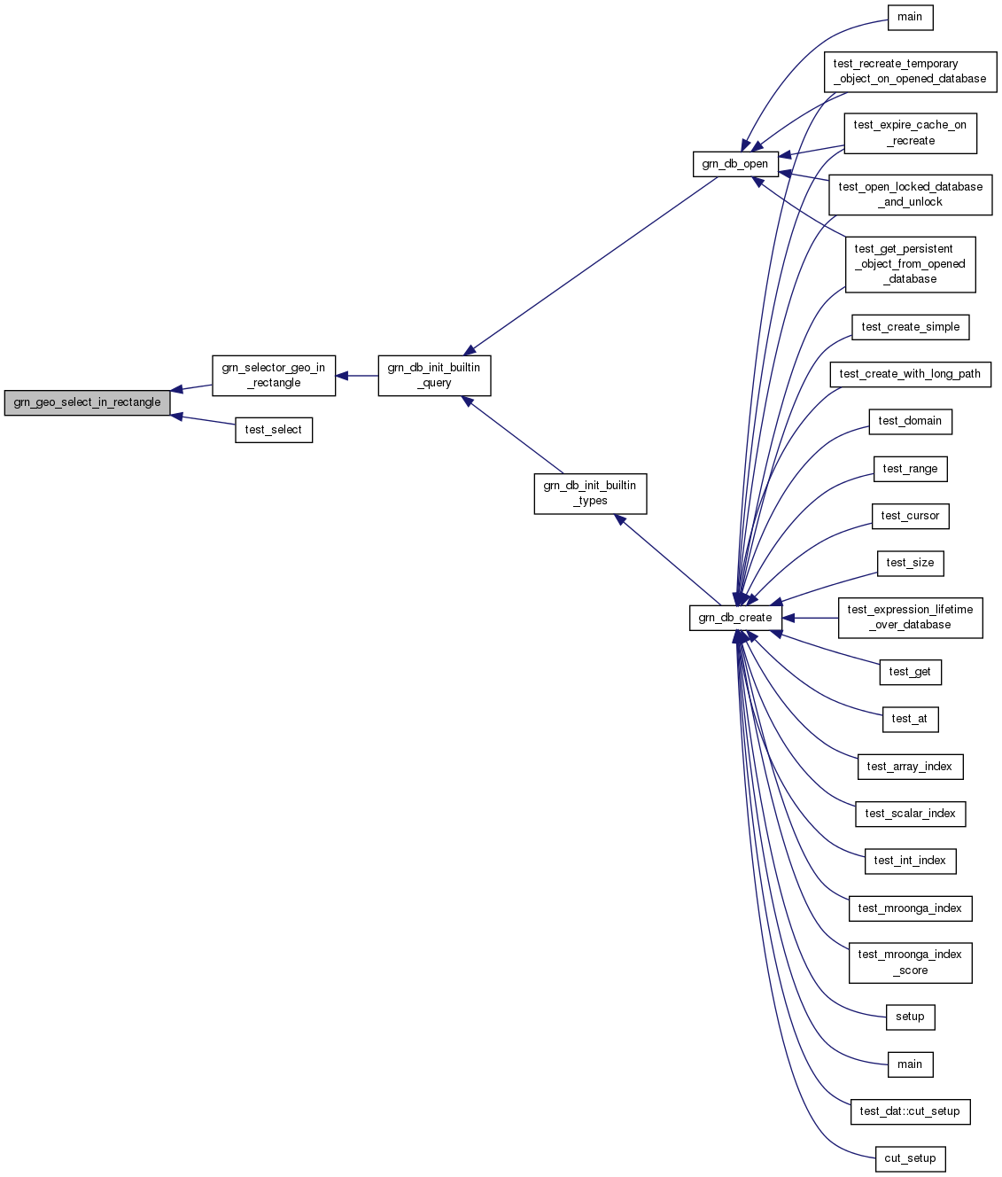
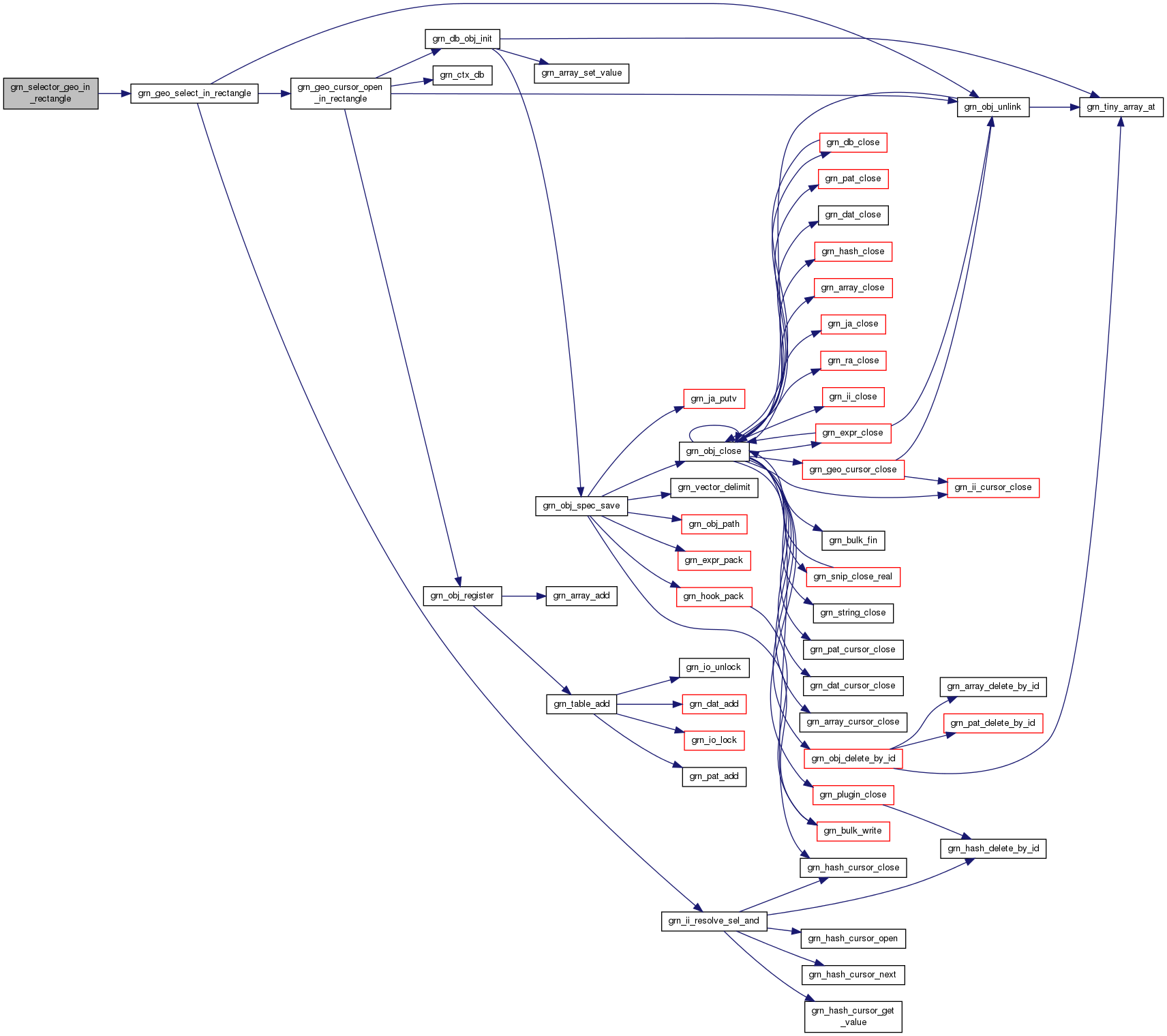
| grn_rc | grn_selector_geo_in_rectangle (grn_ctx *ctx, grn_obj *table, grn_obj *index, int nargs, grn_obj **args, grn_obj *res, grn_operator op) |
| grn_obj * | grn_geo_cursor_open_in_rectangle (grn_ctx *ctx, grn_obj *index, grn_obj *top_left_point, grn_obj *bottom_right_point, int offset, int limit) |
| grn_posting * | grn_geo_cursor_next (grn_ctx *ctx, grn_obj *geo_cursor) |
| grn_rc | grn_geo_cursor_close (grn_ctx *ctx, grn_obj *geo_cursor) |
| grn_rc | grn_geo_select_in_rectangle (grn_ctx *ctx, grn_obj *index, grn_obj *top_left_point, grn_obj *bottom_right_point, grn_obj *res, grn_operator op) |
| int | grn_geo_estimate_in_rectangle (grn_ctx *ctx, grn_obj *index, grn_obj *top_left_point, grn_obj *bottom_right_point) |
| grn_bool | grn_geo_in_circle (grn_ctx *ctx, grn_obj *point, grn_obj *center, grn_obj *radius_or_point, grn_geo_approximate_type approximate_type) |
| grn_bool | grn_geo_in_rectangle_raw (grn_ctx *ctx, grn_geo_point *point, grn_geo_point *top_left, grn_geo_point *bottom_right) |
| grn_bool | grn_geo_in_rectangle (grn_ctx *ctx, grn_obj *point, grn_obj *top_left, grn_obj *bottom_right) |
| double | grn_geo_distance_rectangle_raw (grn_ctx *ctx, grn_geo_point *point1, grn_geo_point *point2) |
| double | grn_geo_distance_sphere_raw (grn_ctx *ctx, grn_geo_point *point1, grn_geo_point *point2) |
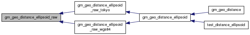
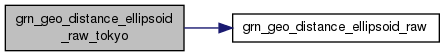
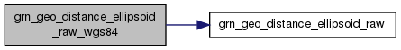
| double | grn_geo_distance_ellipsoid_raw (grn_ctx *ctx, grn_geo_point *point1, grn_geo_point *point2, int c1, int c2, double c3) |
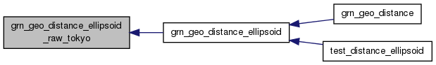
| double | grn_geo_distance_ellipsoid_raw_tokyo (grn_ctx *ctx, grn_geo_point *point1, grn_geo_point *point2) |
| double | grn_geo_distance_ellipsoid_raw_wgs84 (grn_ctx *ctx, grn_geo_point *point1, grn_geo_point *point2) |
| double | grn_geo_distance (grn_ctx *ctx, grn_obj *point1, grn_obj *point2, grn_geo_approximate_type type) |
| double | grn_geo_distance_rectangle (grn_ctx *ctx, grn_obj *point1, grn_obj *point2) |
| double | grn_geo_distance_sphere (grn_ctx *ctx, grn_obj *point1, grn_obj *point2) |
| double | grn_geo_distance_ellipsoid (grn_ctx *ctx, grn_obj *point1, grn_obj *point2) |
grn_geo_select_in_circle: : the index column for TokyoGeoPoint or WGS84GeoPpoint type. : the center point of the target circle. (ShortText, Text, LongText, TokyoGeoPoint or WGS84GeoPoint) : the radius of the target circle (Int32, UInt32, Int64, UInt64 or Float) or the point on the circumference of the target circle. (ShortText, Text, LongText, TokyoGeoPoint or WGS84GeoPoint) : the approximate type to compute distance. : the table to store found record IDs. It must be GRN_TABLE_HASH_KEY type table. : the operator for matched records.
It selects records that are in the circle specified by and from . Records are searched by . Found records are added to table with operation.
Definition at line 828 of file geo.c.


 1.8.1.2